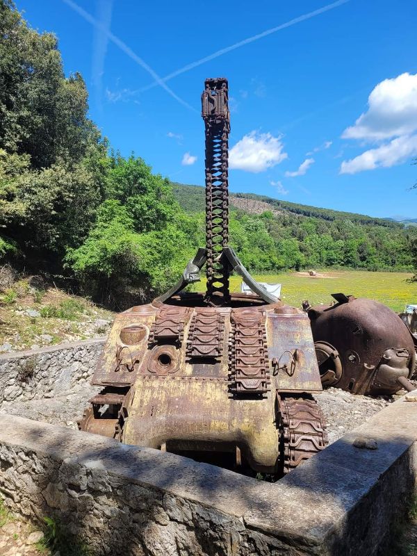
When the Germans understood that the Allied were attacking Italy in forces, retreated on the so called “Gustav Line”, literarlly a line of mountains starting on the Tyrrhenian coast in Minturno, and ending on the other side of Italy on the Adriatic coast in Ortona. The key point of this defensive line become a little group of hills from Naples to Rome passed from Cassino. During four months of fighting and four battles about 30.000 soldiers were killed on the Allied and the Axis side. They were people coming from all over the world, from USA to South Africa, from NZ to Poland. All of them were killed between the stones of this hill. On 18th May 1944, the Polish soldiers were on the top of the hill and put first of all the Polish flag and then the British one.
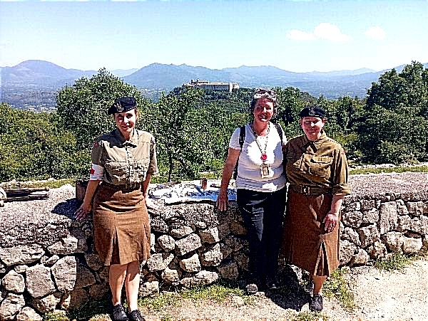
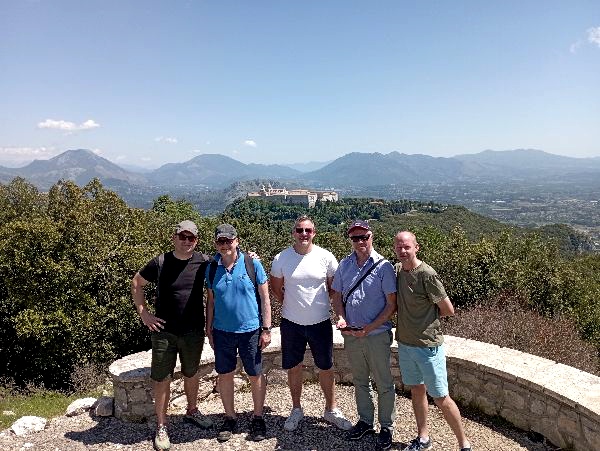
The new Monte Cassino trail offers the opportunity to follow the history of the Polish advance and attack to the ruins of the Monastery, showing the visitors were the Polish Corps were located, where was the First Aid building, where starts the Cavendish Road and so on. The trail starts from the parking place next to the new statue dedicated to General Anders, the new one will be placed in the next months, and finishes on the top of the hill in the Abbey of Monte Cassino.
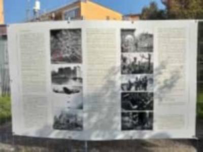
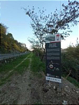
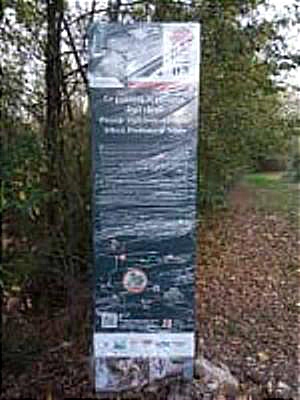
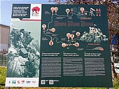
All along the trail, there are eleven “points of Memory”, where eleven historical signs will explain to you what happened in this area. The trail is about twelve km long and includes also the Cavendish Road historical trail. If the trail is too long for you, you can catch a bus to the village of Caira, and it will be shorter, but please note that you will overcome some signs. When you will reach the end of the trail, you can come back to the town centre of Cassino by bus, catching the bus that goes up and down from the Abbey to the train station.Here is the map if you want to follow the trail to the top of Monte Cassino.